- Skilled in APIs and web scraping
- Scraped information online to make a map of the nearest place that had pizza rolls in stock
- Scraped data on Pokéstops for a peer-reviewed published paper on Pokemon Go
- Google Earth Engine and Computer Vision
- Detecting where in West Africa cashew trees are being grown to determine change over time and production levels
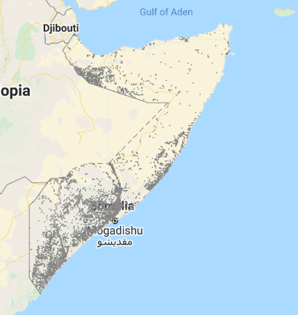
- Using satellite imagery to determine where in Somalia drought is likely to occur based on waars, or water collection ponds